Industrial
Orthomosaic mapping offers high-resolution, accurate aerial imagery that is essential for surveying and construction projects. Our comprehensive drone services skillfully capture detailed topographical data, enabling precise measurements and effective planning for a variety of applications. This technology not only enhances project efficiency but also ensures that teams have access to the most reliable information for informed decision-making.
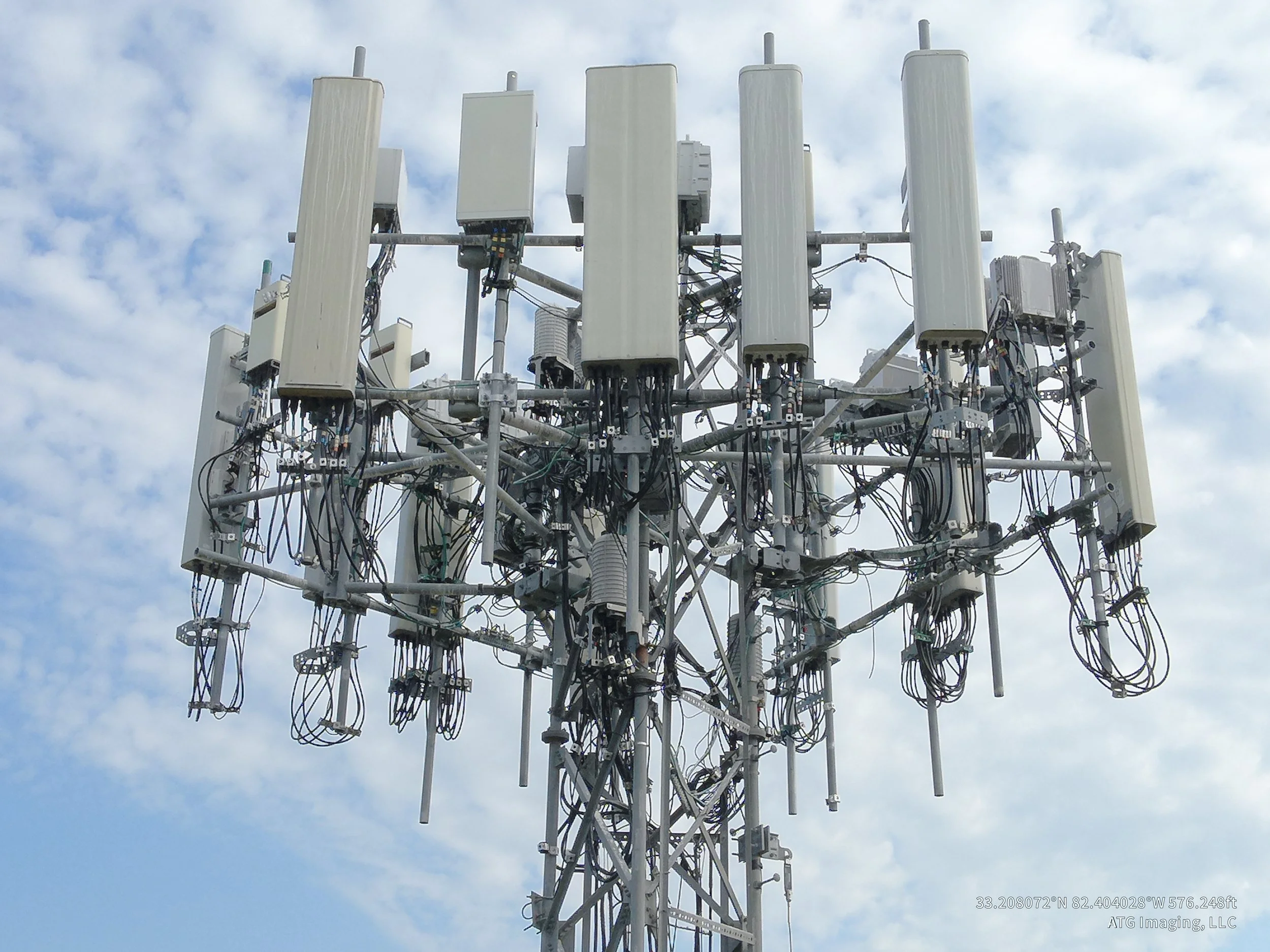
Building/Tower/Facade Scans enable comprehensive inspections of building exteriors, ensuring structural integrity and identifying potential maintenance needs without the risk associated with traditional methods. This can allow for 3D Modeling and a platform for contractors / vendors / stakeholders to collaborate.
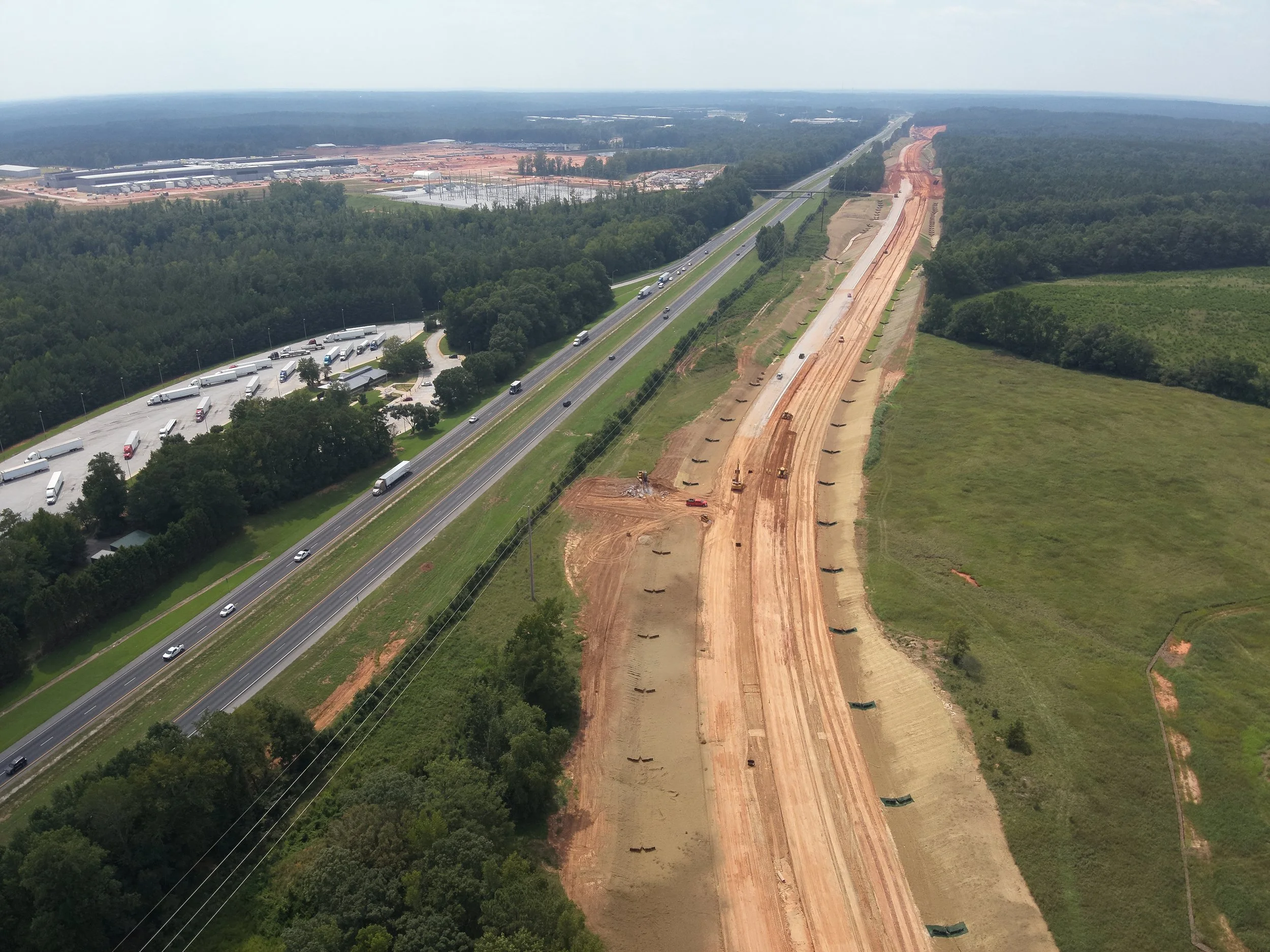
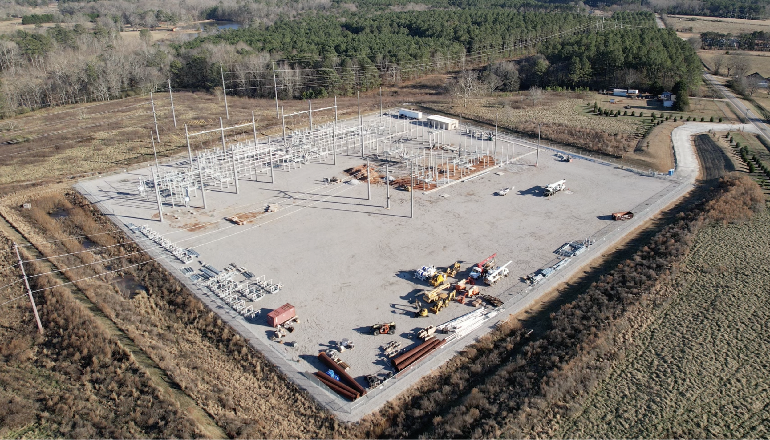
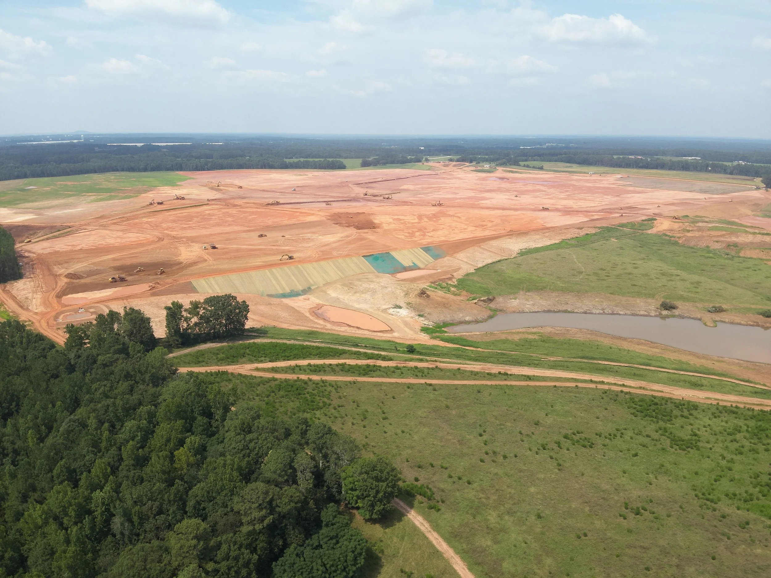
Megasites encompass large scale industrial developments from raw land through construction, Our aerial imaging solutions offer extensive overviews and detailed insights critical for development and site planning. Utilizing drones for solar fields enhances efficiency; we conduct detailed assessments of installations tailored to your needs, helping to optimize energy production and maintenance. We can chronicle large scale constructions projects and upload to a collaborative platform to share the latest in your project status, regardless of where you are located.
In addition to these specialized services, our versatility allows us to cater to various other applications, efficiently delivering real-time data and visualizations that support decision-making processes across multiple industries. Trust ATG Imaging to elevate your projects with our advanced aerial drone services.For industrial cliental, our drone photography and videography services offer valuable insights and perspectives that traditional ground-based methods simply cannot achieve. By capturing high-resolution aerial images and videos, we provide a comprehensive view of your project, allowing you to make informed decisions and streamline operations. Whether our clients are monitoring construction progress, inspecting infrastructure, or conducting site audits, our services provide the accuracy and efficiency needed to get the job done with superior results.
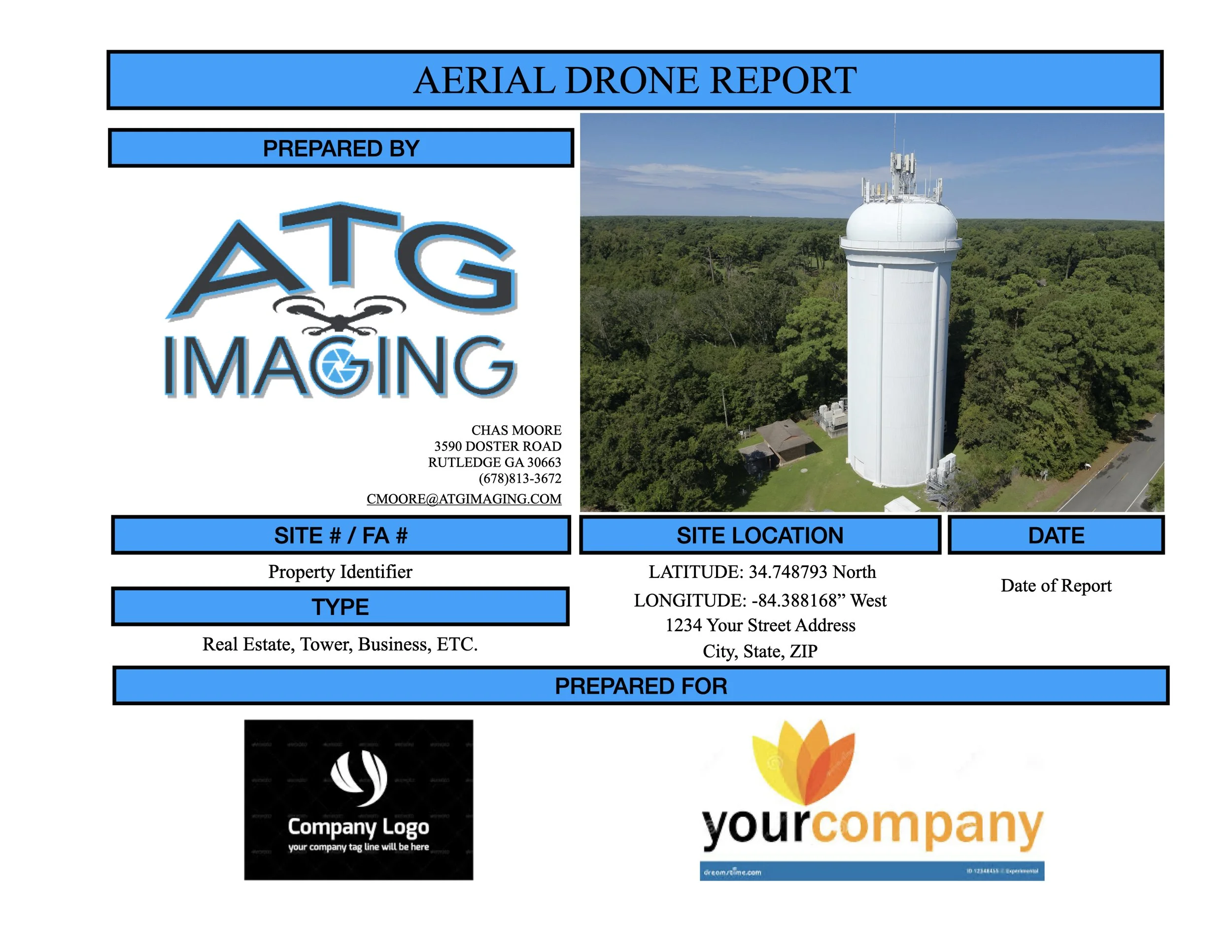
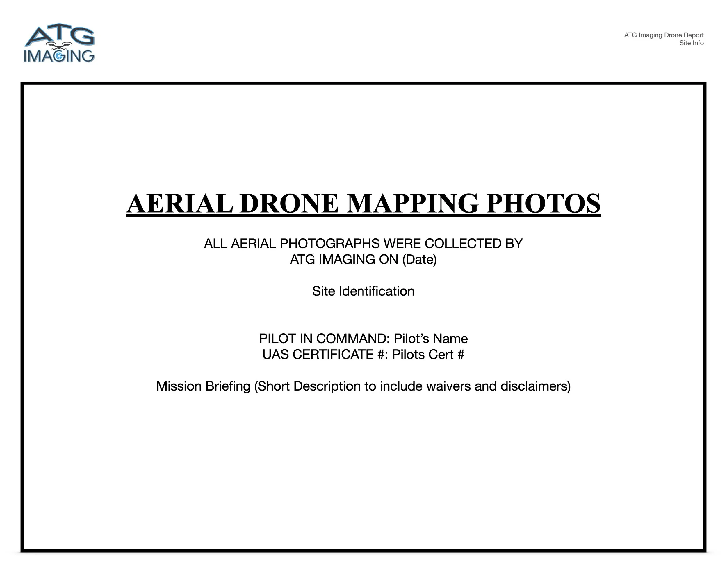
Custom Reports
In today's rapidly changing world, you need solutions that will meet your needs. ATG Imaging, LLC can customize our reporting methods to meet these challenges.
Vertical Structures
Utility
Project Overview
